Our Services
GPS/GNSS SURVEY
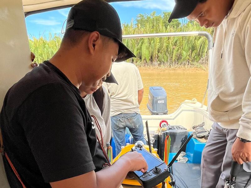
GPS/GNSS SURVEY
Our GPS/Geodetic survey services ensure high-precision location and elevation data essential for project planning and implementation.
Applications include:
Detailed Site and Topographic Measurements
Volume Determination for Areas/Regions
Benchmark and Ground Control Point (GCP) Positioning
Data Collection for Mining Business Permits (IUP)
Equipped with advanced GNSS technology, we guarantee reliable results tailored to meet specific project requirements, from construction to utility planning.